GEOTECHNICAL SERVICES
EXPERTS OF SOIL MECHANICS
Adapting to a Changing Engineering Environment





ABOUT US
PRI ENGINEERING
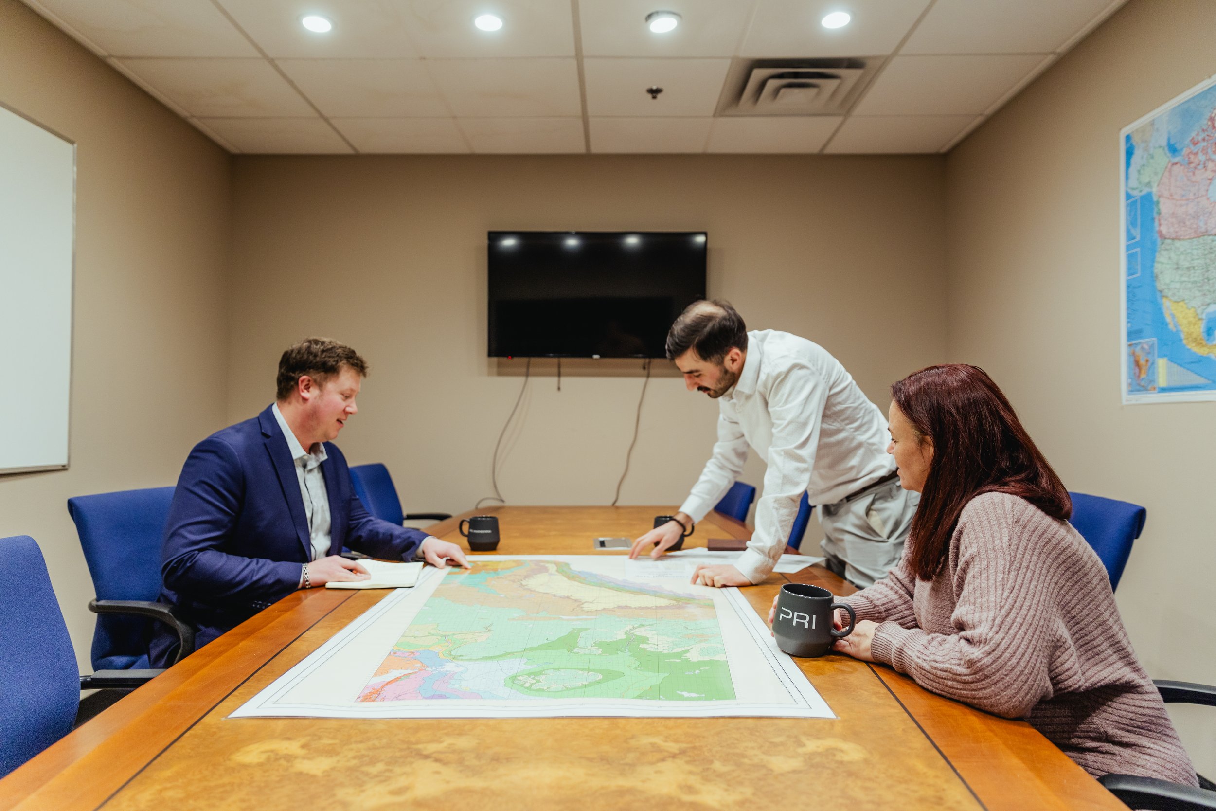
With over 100 years of combined experience, our dedicated team of geotechnical engineering consultants is here to provide you with the full support your project needs. We specialize in both public and private sector projects, and we’re passionate about delivering solutions that make a real difference. From initial studies to detailed design and construction support, we’ve got you covered every step of the way.
As one of the trusted geotechnical engineering companies in Canada, we pride ourselves on offering expert geotechnical consulting services that you can count on. Whether you’re looking for a partner for your next big project or need guidance, we’re ready to collaborate and help you succeed.
ENGINEERING SERVICES
We offer a full suite of geotechnical services, including comprehensive geotechnical investigations, solar foundation design, and environmental engineering. As a trusted geotechnical engineering consultant, we provide expert solutions for a wide range of projects.


CONSTRUCTION
INSPECTION AND MATERIALS TESTING
Full suite of on-site materials testing and construction inspection services.

SOLAR FOUNDATION DESIGN
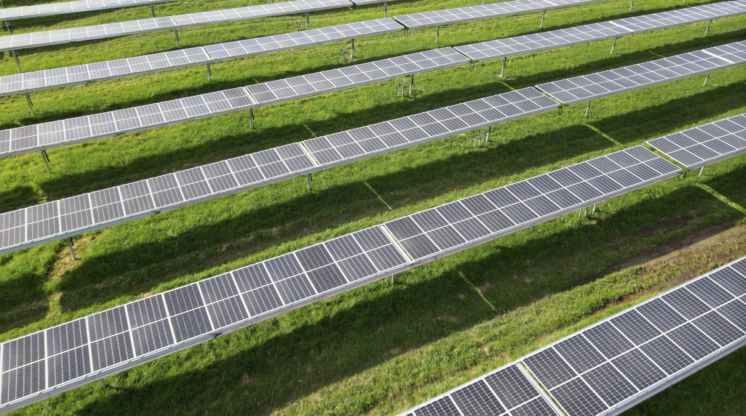
Specializing in geotechnical services for solar foundation design.


ENVIRONMENTAL
ENGINEERING
PRI provides a full range of environmental engineering services to manage your project risk and build sustainable operations.


CIVIL ENGINEERING AND INFRASTRUCTURE
The full-range of geotechnical services for infrastructure projects in Canada and the United States.


Access Canadian Council of Independent Laboratories certified laboratories in Kawartha Lakes, Ontario, and Calgary, Alberta for concrete, soil, and aggregate testing services.
GEOTECHNICAL
LABORATORY SERVICES
DEEP DIVE INTO ENGINEERING
LEARNING CENTRE
Access our engineer’s expertise and insight on all areas of geotechnical engineering with a focus on solar foundation design and geotechnical investigations for infrastructure projects.

OUR PROJECTS
PRI Engineering has worked on hundreds of projects across North America and the Caribbean.
CHALK RIVER LINER INSTALLATION PILOT
The testing that we completed for the Chalk River Liner Installation Pilot showcases the depth of our laboratory testing capabilities, utilising our CCIL-certified facilities both in Kawartha Lakes, Ontario, and Calgary, Alberta. Our work on this project highlights our commitment to precision and quality, employing advanced testing methods for soils, concrete, and aggregates to ensure the highest standards in construction and infrastructure development.
COBOURG, ONTARIO
Our various road projects in Cobourg, Ontario, exemplify PRI Engineering's environmental engineering prowess, integrating sustainability with road construction and materials testing. These initiatives included comprehensive environmental assessments and solutions tailored to enhance durability and safety, reflecting our dedication to minimizing project risks and promoting sustainable infrastructure.
LINDSAY DOWNTOWN RE-CONSTRUCTION PHASE III
The Lindsay Downtown Re-Construction Phase III is a testament to PRI Engineering's commitment to quality through our comprehensive construction inspection services and Quality Assurance/Quality Control monitoring. Our team ensured that every phase of the project adhered to design specifications, overseeing contractor supervision, non-destructive testing, and detailed documentation, contributing to the project's timely and on-budget completion.
BROOKS II
PRI Engineering worked to significantly enhance Alberta's solar capacity with the successful completion of the Brooks Solar II Project, which added 27 MW through innovative solutions to challenges like soft clay and frost-heave soils. Our comprehensive role included detailed design, pre-production load testing, and stringent onsite quality control, showcasing our commitment to excellence in solar infrastructure.
LAKESHORE MULTIFAMILY RESIDENTIAL HIGHRISE
The Lakeshore Multifamily Residential Highrise project is a testament to PRI Engineering's expertise in civil engineering, showcasing our full range of tailored geotechnical services that ensure compliance with the highest quality assurance standards at cost-effective rates. Our team of experts provided customized testing and intelligent reporting, tailored to meet rigorous engineering standards and quality assurance requirements, ensuring the highrise's structural integrity and cost-efficiency in a competitive urban development landscape.